

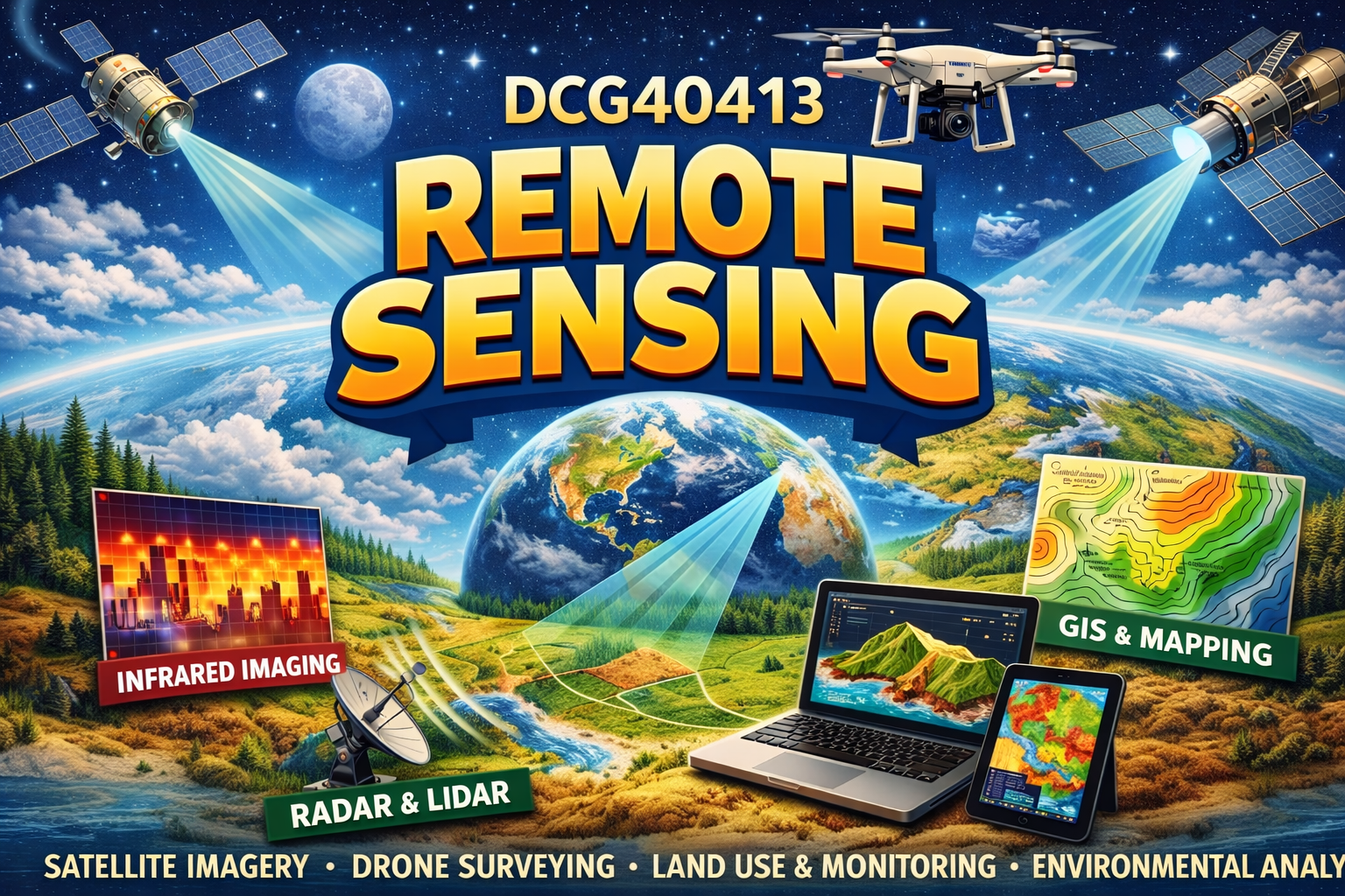
REMOTE SENSING equips students with the knowledge of imagery concept. This course explains the concept of data capture from electromagnetic energy recorded, by sensors brought by airplane or satellite. This course also develops student’s skills in using software for digital image processing consist of image pre-processing, image enhancement, image classification and map annotation.
- Teacher: SR. FIRHAN BIN SALIAN FIRHAN
- Enrolled students: 35