

ENGINEERING SURVEYING 2 provides knowledge on Topographic survey, automation survey, calculation of volume using Mass Haul Diagram and concept Global Positioning System (GPS). It also emphasizes on detail surveying and GPS field work
- Enrolled students: 13
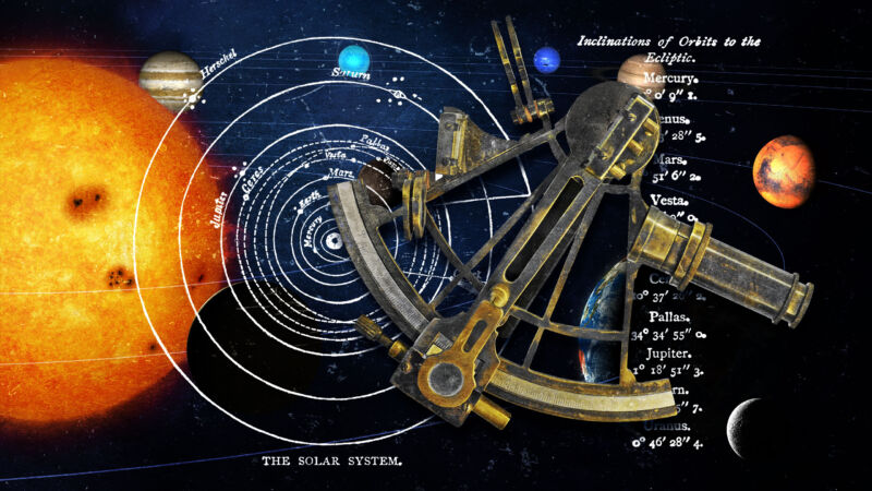
FIELD ASTRONOMY equips students with knowledge on the position of celestial bodies such as the moon, sun, stars and planets with reference to earth. This study is important to land surveyors in field works such as determining the azimuth in land boundaries, checking angles in long traverse and determining geodetic positions or geographic points on earth.
- Enrolled students: 5

REMOTE SENSING equips students with the knowledge of imagery concept. This course explains the concept of data capture from electromagnetic energy recorded, by sensors brought by airplane or satellite. This course also develops student’s skills in using software for digital image processing, digital image enhancement and image classification.
- Enrolled students: 7
- Teacher: AYATI BINTI PARMEN ayati
- Enrolled students: There are no students enrolled in this course.
- Teacher: ROHAFIZA BINTI MD DARUS PUAN_ROHA
- Enrolled students: There are no students enrolled in this course.
- Teacher: SURIAWATI BINTI JUSOH Puan
- Enrolled students: There are no students enrolled in this course.
- Teacher: SURIAWATI BINTI JUSOH Puan
- Enrolled students: There are no students enrolled in this course.

SURVEY ADJUSTMENTS provides the students with knowledge on adjustment. The course emphasizes the calculation of adjustment using the least square adjustment method by means of observation and condition equations in solving surveyed data. Besides, its also provides students with knowledge and practical skills to calculate and adjust surveyed data
- Teacher: NOOR FAIZAH BINTI ZOHARDIN (CNFZ)
- Enrolled students: 22

SURVEYING COMPUTATION equips students with knowledge and understanding in problem solving related to the calculations of traverse. It also provides early exposure to students about concept of bearing and angle, trigonometry, traverse and three point problems. The course emphasizes on calculation for surveying works.
- Teacher: NOOR FAIZAH BINTI ZOHARDIN (CNFZ)
- Enrolled students: 56